WILDCARE Friends of GIS
Friends of GIS are a self help group that meet sporadically to learn the QGIS mapping software. We come from a wide range of Wildcare groups across the state and help each other to prepare maps for grant applications or general interest. We also support groups to use the Fulcrumapp software for in field data collection.
Branch Files
- Useful Spatial information links - Some useful web links to software and Tasmania Data
- FoGIS QGIS Package 1 - Getting started - downloading the software and getting it installed (Windows PC)
- FoGIS QGIS Package 2 - Downloading some background raster maps
- FoGIS QGIS Package 3 - Tasmanian vector data - where to get it and important attribution requirements
- FoGIS QGIS Package 4 - Some online documents and videos on using QGIS
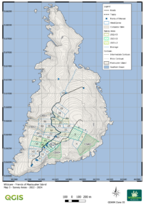
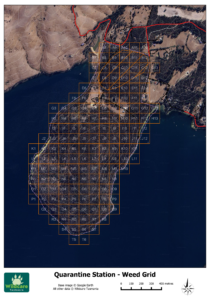
- SampleMap - Sample of the sort of maps that we create
- FoGIS Layered PDF map created in QGIS 3.10 - Best to download the file and open in a PDF reader as you can then turn specific layers on and off.
- FoGIS How to add LIST services in QGIS Version 3 - This document will show you how to add LIST maps to QGIS version 3.0. Ensure any maps using this data have the appropriate credits.
Who we are
 Friends of GIS are a self help group that meet on a sporadic basis to learn the QGIS software. We come from a wide range of Wildcare groups across the state and help each other to prepare maps of our areas of interest.
Members have a range of special interests. We can support users on Windows, Mac for QGIS and Apple and Android devices for Fulcum. QGIS was chosen as our software of choice as its open source and free meaning there is no barrier for anyone wanting to learn. Its also supported world wide by a very active community of developers and users.
Where we work
At this stage we hold our sessions at the Parks and Wildlife Offices at Glenorchy (1-3 Murrayfield Court, Glenorchy) however we are keen to support people in other locations. This can be accomplished via email or skype sessions if so desired.
What we do
We are all learning the QGIS software as well as the fundamentals of using Geographical Information Systems (GIS). This includes the use of GPS’s for data capture. We also have use of Fulcrumapp and Inputapp software for data capture in the field using iPads. If you would like assistance in capturing data just drop us an email and will try and assist you with your issues. We can also help individuals with GPS problems (updating firmware, uploading and downloading waypoints and tracks). We are always keen to try out any software that makes field data capture easier and more cost effective for branches in the long term.
Phil is also available for one on one sessions with groups or individuals to get them started using QGIS, prepare datasets for your area of interest or to help develop forms in Fulcrum or Input for field data collection.
Most recently the Fulcrum software has been used for the following purposes
- Rat eradication on Big Green Island, Georges Rocks
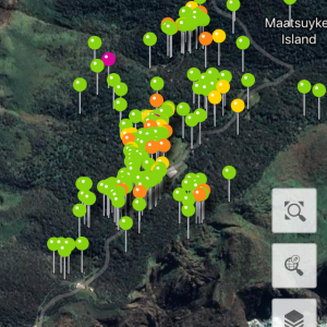
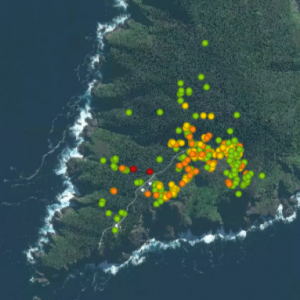
- Weed management on Deal, Tasman and Maatsuyker Islands
- Historic artifacts collection on Tasman Island
Our Contacts
President – Phil Wyatt fogis@wildcaretas.org.au
External Links
Support us with a single or ongoing donation
