18th October 2024 - The damage to the road from the Tasmania Mines entrance to the car park was repaired today.
22nd September 2024 - Old Park river upstream crossing point has been washed downstream by flood water, downstream crossing point still possible but no rope to hold onto, hopefully new pedestrian bridge not too far away!
Sustainable Timbers Tasmania have advised that they are planning a low intensity hazard reduction burn on buttongrass areas surrounding the track some time this spring. For safety reasons the track will be closed for a short period when these burns are taking place.
Keep track on the proposed date of the burn at the site shown below;
https://www.fire.tas.gov.au/Show?pageId=colWhatsBurningNow
21st April 2024 - Directional signage erected both sides of Ridgley Highway, Upper Natone Road intersection showing location of walking track public car park. Additional signage also placed at Black Pit Rd and near false summit.
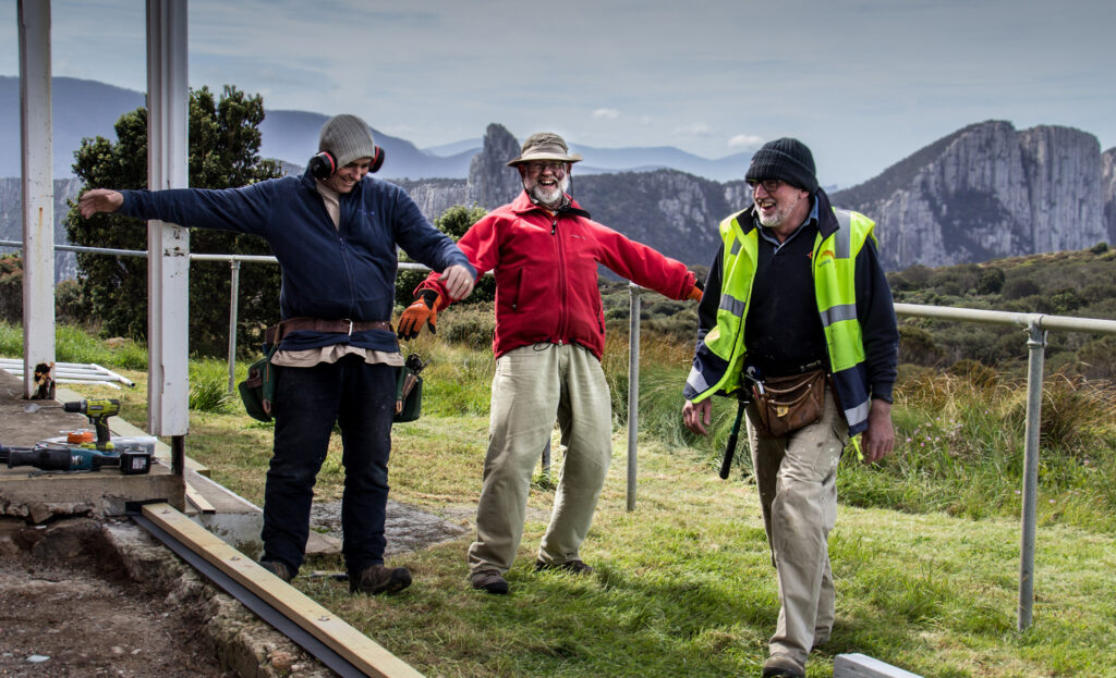
The group is made up of community members working in conjunction with Sustainable Timbers Tasmania, the Tasmanian Parks & Wildlife Service and Forico.
St Valentines Peak is a prominent mountain on the north west coast of Tasmania only 30 minutes’ drive south of Burnie. The current track up the northern face from the end of Kara Rd was constructed in 1995 to ensure continued easy access for the public. The track can be accessed by turning down Upper Natone Road from Hampshire then following Kara Rd until the Tasmanian Mines entrance. Please be aware that large trucks use Kara Rd during the week, they use UHF channel 26 to alert their presence using the signs that have been erected. Do not drive past the mine gates, follow the spur road to the left for another 1.3km until reaching the car park. Note the car park is not suitable for turning trailers and caravans, please reverse park along the western side of the car park area to allow for easy access to other users. The walk takes approximately 4 hours return and is very exposed at the summit. Ensure you are prepared for rapid weather changes at any time of the year. Mobile phone reception is patchy on the lower slopes but improves as height is gained. Planned track improvements include additional boardwalk sections, track markers and a bridge over Old Park river. Maps can be found in the Files tab.
Liaising with landowners on proposed maintenance activities, carrying out track vegetation clearing, upgrading sections, keeping infrastructure in good condition and improving the walking experience into the future. Our group aims to provide more information to potential users and be the single point of contact for issues that arise in the area. President James Dick, tells us more about the group in this video.
President: James Dick james.dick@forico.com.au Secretary: Chris Dennis igckdennis@bigpond.com Treasurer: Rodney Walker rodneywwalker@bigpond.com
To assist the work of this group, enter an amount below to make a non-deductible contribution.
No matter how large or small, you can make a difference.
Latest News
© 2024 Wildcare Tasmania Incorporated. All rights reserved. Web Design by Ionata Digital